
Site planning
See the whole site before you build it
Give us the parcel. We draw the homes, the roads, the parking and the mailboxes on a current aerial photo of your land. Then we check the plan against the record and tell you where the two do not agree.
Site Plan Render: $1,200. Pay half ($600) to start and the rest when the drawing is delivered, or pay in full.
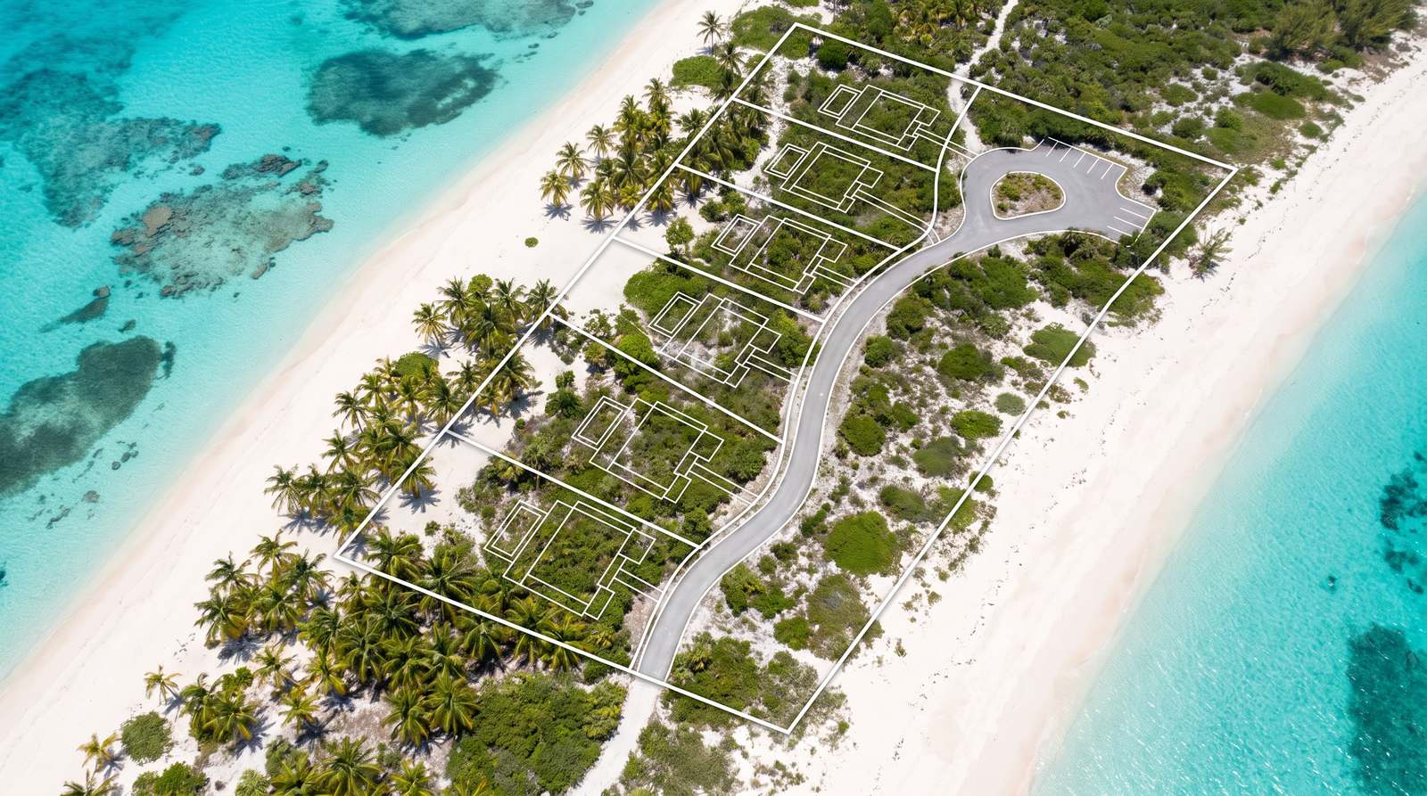
How it worksSend the parcel. We draw the plan on a current aerial photo and check it against the record.
You send the parcel details below. We pull the aerial photo from the county that holds the record.
We lay out the homes, roads, parking and mailboxes on that photo. Then we check the layout against the record and mark every place the two disagree.
Send what you have. Whatever you do not know comes back named on the drawing, so you know exactly what to go and find.
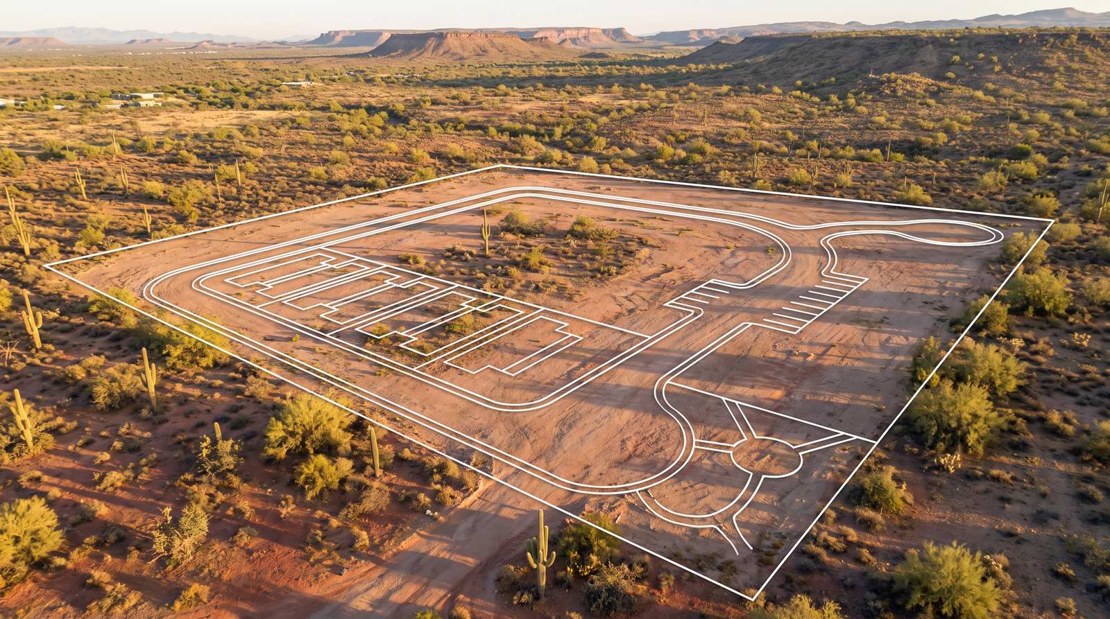
What you receiveOne full-size drawing, and a list of where every number came from.
One drawing at 300 dots per inch, big enough to print full size.
With it, a plain list of where every number on that drawing came from, and which ones we could not confirm.
It is a working drawing. Plan from it, price from it, mark it up with your architect. It says so on its face.
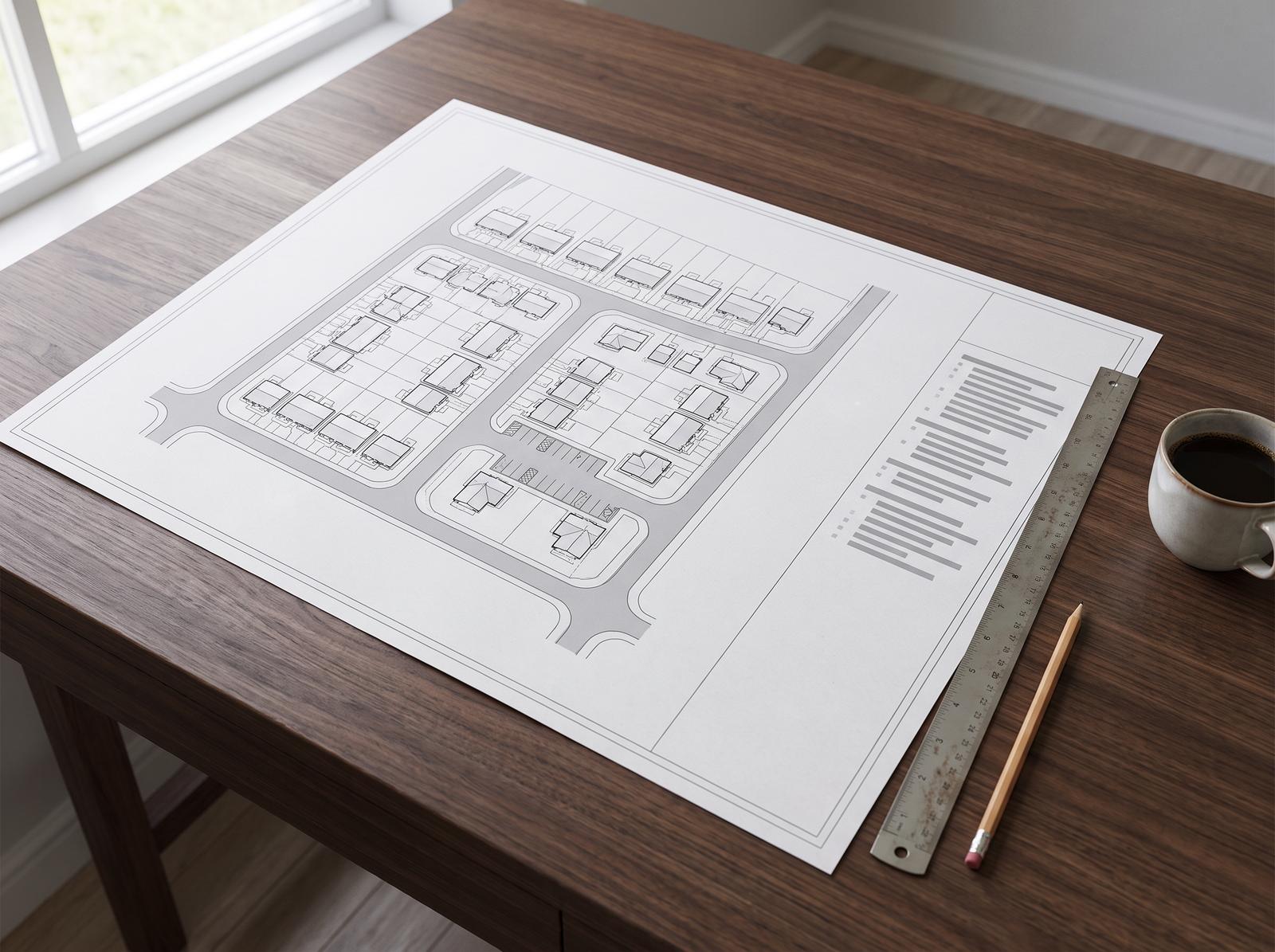
Any parcelBeachfront, desert, infill or acreage: the same drawing, the same checks.
Coastal lots, desert acreage, a corner in town. The plan is drawn on the parcel's own aerial photo, so it shows the land as it is today.
The pictures here are illustrations of the kind of drawing you get, not a client's site.
